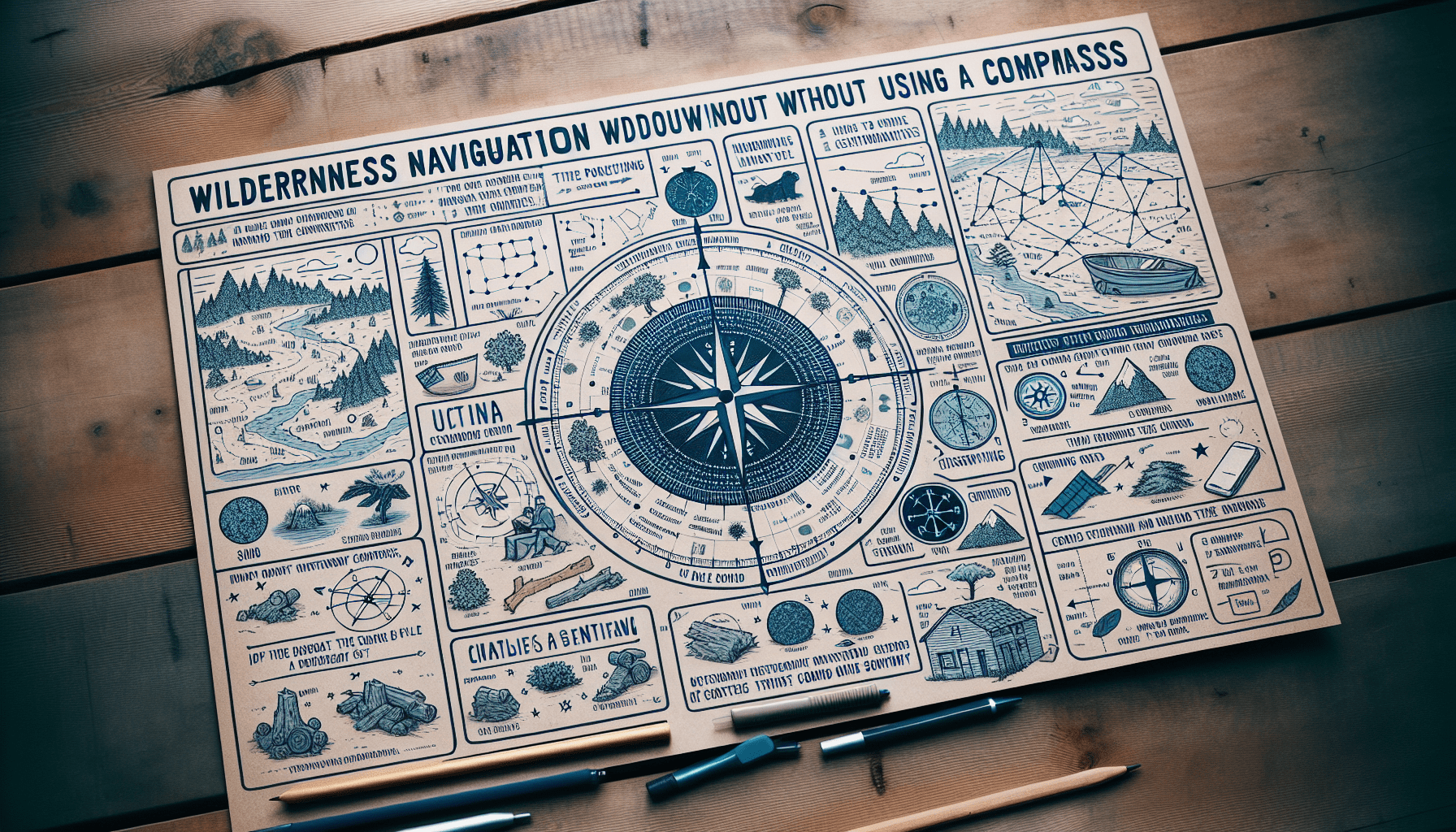
Imagine you find yourself in the middle of the wilderness, miles away from civilization, with no sign of a compass. Don’t panic! In this article, we will guide you through the art of navigation without relying on a compass. From using natural landmarks to reading the stars in the night sky, you’ll discover ingenious methods that will help you find your way and explore the great outdoors with confidence. So, whether you are an avid adventurer or simply looking to expand your survival skills, get ready to embark on an exciting journey where the compass is optional.

Using the Sun
Determining cardinal directions with the sun’s position
One of the simplest and most reliable ways to determine cardinal directions is by observing the position of the sun in the sky. To do this, find a sunny spot and stand where the sun is directly overhead. In this position, the shadow cast by your body will be minimal, making it easier to gauge the sun’s position. If it is morning, the sun will be in the east; if it is afternoon, the sun will be in the west. This method is a great way to orient yourself in open areas where you have a clear view of the sky.
Using a shadow stick to find east and west
If the sun is not directly overhead or if you are in a more shaded area, you can use a shadow stick to determine east and west. Find a straight stick about a foot long and place it upright in the ground. Mark the end of the shadow it casts. Wait for about 15 minutes, then mark the end of the new shadow. The line connecting the two marks represents the east-west line, with the first mark indicating west and the second mark indicating east.
Using a watch to find north
If you have an analog watch, you can also use it to find north. Hold the watch horizontally and point the hour hand toward the sun. The halfway point between the hour hand and 12 o’clock on your watch will point south. This method works because the sun rises in the east and sets in the west, so the point opposite to the sun’s position is roughly north. However, keep in mind that this method only works in the Northern Hemisphere. In the Southern Hemisphere, you would need to point the 12 o’clock position towards the sun to find north.
Using Celestial Bodies
Using the North Star to find true north
If you find yourself under a clear night sky, you can navigate using the North Star, also known as Polaris. The North Star is located very close to the Earth’s north celestial pole, so its position in the sky remains relatively fixed. To find the North Star, locate the Big Dipper constellation and imagine a line extended from the two stars at the end of the Dipper’s bowl. This line will lead directly to the North Star, which is the last star in the handle of the Little Dipper. By identifying the North Star, you can determine true north, regardless of your location.
Identifying other stars and constellations
While the North Star provides a reliable reference point, familiarizing yourself with other stars and constellations can also aid in navigation. Constellations like Orion, Cassiopeia, and the Big Dipper are easy to spot and can serve as useful markers when determining directions. Develop a basic understanding of the night sky and keep an eye out for prominent stars or patterns that can help guide you in the right direction.
Using the moon for direction
The moon can also be a helpful tool for navigation. During clear nights, the moon generally rises in the east and sets in the west, just like the sun. By observing the moon’s position in relation to the horizon, you can determine east and west. Additionally, the moon’s crescent shape can also act as a general indicator of where the sun is in the sky, helping you understand the time of day or night.

Using Natural Landmarks
Using mountains and hills as landmarks
One of the most effective ways to navigate in nature is by using prominent geographical features such as mountains or hills as landmarks. These natural landmarks are often visible from a distance and can provide a point of reference to orient yourself. By noting the position of a mountain or hill in relation to your location, you can determine your general direction or track your progress when traveling.
Using rivers and streams as guides
Rivers and streams are excellent guides for navigation as they tend to flow in a relatively straight path. By following a river or stream downstream, you can usually find your way back to civilization or a known landmark. Additionally, water sources are often found near human settlements, making them essential waypoints for navigation in remote or unfamiliar areas.
Identifying distinctive trees or rock formations
Another way to navigate using natural landmarks is by identifying distinctive trees or rock formations. Look for unique features that stand out from the surrounding landscape, such as a particularly shaped tree or a prominent rock formation. These distinctive landmarks can help you stay on track and provide visual cues to confirm your direction.
The Importance of a Mental Map
Creating a mental map of your surroundings
Developing a mental map of your surroundings is crucial for effective navigation. Take the time to familiarize yourself with key landmarks, geographical features, and the general layout of the area. By visualizing and internalizing this mental map, you can more confidently navigate through unfamiliar terrain and make informed decisions about which direction to take.
Noting distinctive features in the landscape
When creating a mental map, it is essential to note distinctive features in the landscape. Look for unique landmarks or terrain characteristics that can serve as reference points. These features can be anything from a particularly shaped tree to a distinctively colored rock formation. By paying attention to these details and actively incorporating them into your mental map, you’ll have a better understanding of your surroundings and be able to navigate more effectively.
Using landmarks to track your progress
Landmarks are not only useful for orienting yourself but also for tracking your progress when navigating. As you move through your surroundings, look for landmarks that you’ve identified on your mental map as indicators of your current position. By monitoring your progress in relation to these landmarks, you can gauge if you’re heading in the right direction or if you need to make adjustments to your route.

Tracking Time and Direction
Using a makeshift sundial
In a survival situation without a compass, you can create a makeshift sundial to estimate the time and direction. Find a stick and push it into the ground vertically. Mark the tip of the stick’s shadow every 15 minutes throughout the day. The line connecting these marks will represent the general east-west line. By noting the position of the shadow in relation to these marks, you can estimate the time of day and roughly determine the north-south line.
Observing the movement of shadows
If you have a watch or some other time-keeping device, you can use the movement of shadows to estimate direction. Stand in a sunny spot and observe the direction in which your shadow falls. Over time, you’ll notice that the shadow moves from west to east as the sun appears to move across the sky. This can help you establish a general sense of direction, especially when combined with other navigation techniques.
Estimating time and direction based on the sun’s position
By paying attention to the position of the sun throughout the day, you can estimate both time and direction. In the Northern Hemisphere, the sun rises in the east, reaches its highest point in the sky around midday, and sets in the west. The reverse is true in the Southern Hemisphere. By observing the angle and height of the sun in relation to your location, you can make educated guesses about the current time and gain insight into your general direction.
Navigating by Wind and Weather
Noting prevailing wind directions
Wind patterns can provide valuable information when it comes to navigation. Over time, you’ll notice that certain areas tend to have prevailing winds coming from specific directions. By being aware of these prevailing wind directions and their influence on your environment, you can make educated decisions about which direction to travel and what obstacles to expect.
Using wind patterns to guide your way
In addition to being aware of prevailing wind directions, you can actively use wind patterns to guide your way. If you are in a relatively flat and open area, pay attention to the direction from which the wind is blowing. Traveling with the wind at your back can make the journey easier, while facing into the wind can indicate that you are heading in the opposite direction. By using the wind as a constant point of reference, you can maintain a better sense of direction and adapt your route accordingly.
Observing changes in weather to make navigation decisions
Changes in weather can offer valuable insights for navigation. Certain weather conditions, such as approaching storms or the formation of clouds, can indicate the movement of weather systems. By observing these changes and understanding their implications, you can adjust your navigation strategy accordingly. For example, if dark clouds are rolling in from the west, it may be a sign that bad weather is approaching, and it might be wise to head in the opposite direction to find shelter before the storm hits.

Using an Analog Watch as a Compass
Aligning the hour hand with the sun to find south
If you have an analog watch and the sun is visible, you can use it as a makeshift compass. Point the hour hand of your watch toward the sun, and a line bisecting the angle between the hour hand and the 12 o’clock position will signify the north-south line. The endpoint of this line closest to the sun will indicate the general south direction. However, it’s important to note that this method only works in areas below the Arctic Circle and when the sun is visible.
Using the half-angle method for more accurate results
For more accurate results when using an analog watch as a compass, you can employ the half-angle method. Hold your watch horizontally and align the hour hand with the sun. Bisect the angle between the hour hand and the 12 o’clock position on your watch using an imaginary line. This line will indicate the north-south line, with the point closer to the sun representing the south.
Adjusting for daylight saving time
When using an analog watch as a compass, it’s essential to take daylight saving time into account. If it is currently daylight saving time, adjust the time on your watch by moving it one hour ahead. This adjustment ensures that your watch’s hour hand aligns correctly with the sun and that your compass reading is accurate.
Survival Techniques for Direction Finding
Using an improvised compass with a needle and water
If you find yourself in a survival situation without a compass, you can create your own improvised compass using a needle and water. Magnetize the needle by rubbing it against your clothing or a magnet. Attach the needle to a small piece of cork or Styrofoam and float it in a container of water. The needle will align itself with the Earth’s magnetic field, pointing north-south. By identifying the direction in which the needle points, you can determine your general north direction.
Creating a sun compass with a small stick and shadow
Another survival technique for determining direction is by creating a sun compass using a small stick and its shadow. In the morning, place the stick upright in the ground and mark the tip of its shadow. Wait for about 30 minutes to an hour, then mark the tip of the new shadow. The line connecting these marks will represent the east-west line, with the first mark indicating west and the second mark indicating east. By using this sun compass and knowing the time, you can determine your general direction.
Using a makeshift wind vane to determine wind direction
If you’re looking to determine wind direction, you can create a makeshift wind vane using a piece of string and a small, lightweight object like a leaf or piece of paper. Tie one end of the string to the object and hold it up so that it can freely move with the wind. Observe the direction in which the object points or moves, as this will indicate the wind direction. This technique can be particularly useful when combined with other methods for navigation and weather prediction.

Getting Oriented in Urban Environments
Using street signs and landmarks
In urban environments, street signs and landmarks are invaluable for navigation. Familiarize yourself with the layout of the city or town and the names of major streets and landmarks in the area. By paying attention to street signs, building names, and distinctive landmarks, you’ll be able to better navigate your way through unfamiliar urban settings.
Navigating by the position of the sun or moon
Even in urban environments, the position of the sun or moon can provide a sense of direction. During the day, the sun generally rises in the east and sets in the west. By observing the shadows cast by buildings or using the sun’s position in the sky, you can estimate which way is north or south. Similarly, during the night, the moon’s position and phase can offer clues about where east and west are located.
Using smartphone apps and GPS features
In this digital age, smartphones can be powerful tools for navigation, even when you don’t have a compass. Many smartphone apps offer GPS functionalities that can help you determine your exact location and provide turn-by-turn directions. Additionally, certain apps allow you to use augmented reality to superimpose street names and other landmarks onto the real-world view through your phone’s camera. These features can be particularly useful in urban environments where visual references might be less apparent.
Skills for Staying on Track
Using pacing and stride length to estimate distance
When navigating through unfamiliar territory, estimating distance can be challenging. However, you can use pacing and stride length to develop a rough estimate of how far you’ve traveled. Measure your pace by counting the number of steps it takes for you to walk a certain distance, then use this measurement to gauge the distance you cover. Additionally, be aware that stride length can vary depending on your pace and the terrain, so adjust your estimates accordingly.
Following natural features or man-made trails
Nature often provides natural features such as ridges, rivers, or tree lines that can serve as reliable guides when navigating. Similarly, man-made trails, whether they’re hiking trails or established paths in an urban park, can provide clear routes to follow. By keeping an eye out for these features and consciously using them as reference points, you can stay on track and maintain a sense of direction.
Using a natural sense of direction and intuition
Lastly, don’t underestimate the power of your natural sense of direction and intuition. Humans have an innate ability to sense their surroundings and navigate through them. Trust your instincts and pay attention to your surroundings. By combining your natural intuition with the information and techniques outlined in this article, you’ll be well-equipped to navigate without a compass.
In conclusion, while a compass is a valuable tool for navigation, it is not always available or practical to use. Thankfully, there are numerous methods and techniques that you can employ to navigate without relying on a compass. By utilizing the sun, celestial bodies, natural landmarks, mental mapping, tracking time and direction, the wind and weather, makeshift compasses, and urban navigation strategies, you can confidently find your way no matter the circumstances. Developing these skills and techniques can enhance your outdoor experiences, improve your survival capabilities, and deepen your connection with the natural world. So, the next time you find yourself without a compass, remember that you have the knowledge and tools to navigate like a true explorer.
