Are you prepared for any situation that may arise? In the world of prepping, having the skills to navigate and communicate effectively can be the difference between life and death. In this article, we will explore the essential skills that every prepper should master when it comes to navigation and signaling. From using a compass to reading topographic maps, to understanding different signaling methods, you will gain valuable tips and insights to ensure your safety and survival in any scenario. So, let’s get started on this crucial journey of acquiring the essential skills for prepper navigation and signaling.
Understanding Map Reading
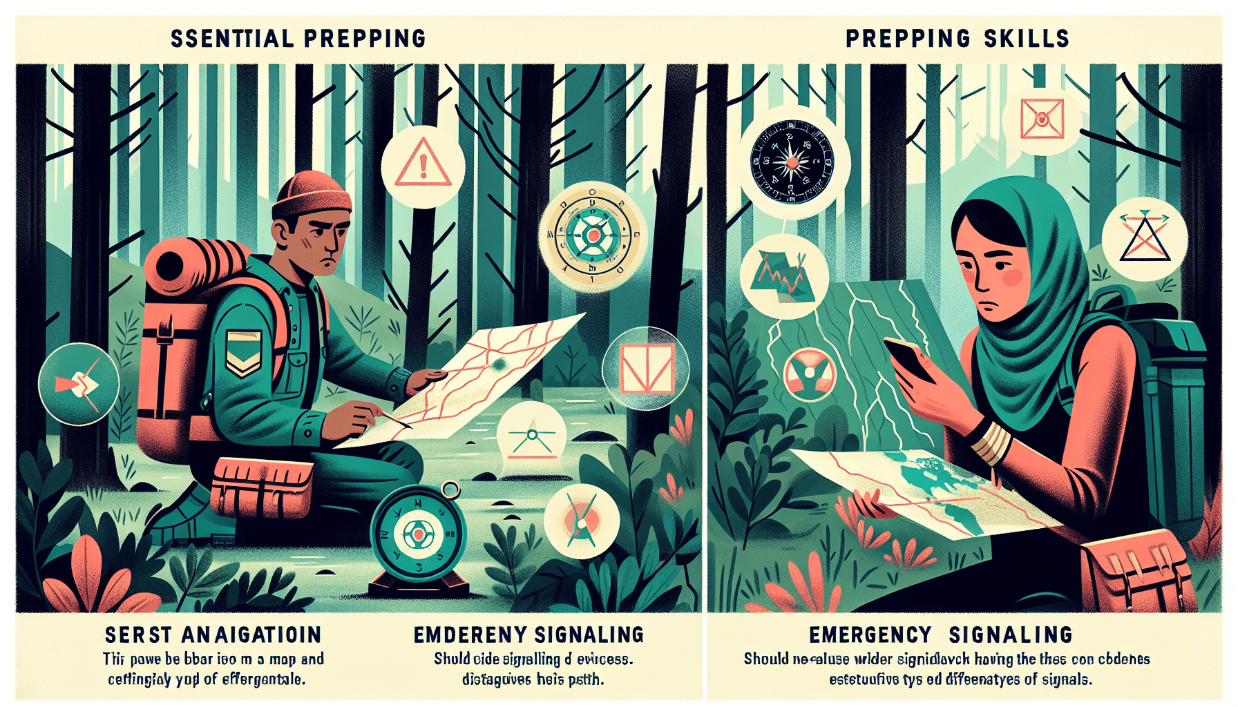
Learn to read topographic maps
Reading topographic maps is an essential skill for any prepper. These maps provide detailed information about the terrain, including elevation, rivers, roads, and other important features. By understanding how to interpret contour lines, you can determine steepness of slopes and anticipate potential obstacles or hazards. Topographic maps also include grid lines, which allow you to measure distances accurately and navigate more effectively.
Understand map symbols and legends
Map symbols and legends are like the key to unlocking the information presented on a map. Each symbol represents a specific feature or object on the ground, such as buildings, water bodies, vegetation, or man-made structures. It is crucial to familiarize yourself with these symbols and their meanings to effectively navigate using a map. The legend provides a comprehensive guide to understanding the symbols on the map, making it easier for you to interpret the information displayed.
Use compass and GPS for navigation
While map reading skills are essential, using a compass and GPS can greatly enhance your navigation abilities. A compass helps you determine your direction, allowing you to orient yourself on the map and follow a desired heading. GPS devices, on the other hand, provide you with precise coordinates and real-time positioning, making navigation even more accurate and efficient. By combining map reading, compass skills, and GPS technology, you can confidently navigate through unfamiliar territory.
Navigating Using Landmarks
Identify and use natural landmarks
Nature provides us with various landmarks that can serve as valuable navigation aids. Mountains, rivers, lakes, and distinctive rock formations are examples of natural landmarks that can be easily identified on a map and observed in the field. By identifying these features and using them as reference points, you can create mental maps in your mind and navigate with greater ease. Natural landmarks are also less likely to change over time, providing a reliable source of navigation.
Recognize man-made landmarks
Man-made landmarks can be equally useful for navigation, especially in urban or developed areas. Buildings, bridges, towers, and even specific street layouts can be used as reference points. These landmarks are often more prominent and easily distinguishable, making them convenient for navigation purposes. Additionally, man-made landmarks can be helpful for communicating your location to others or finding your way back to a specific point.
Create mental maps for navigation
Creating a mental map involves visualizing your surroundings and mentally noting important landmarks and features. By continuously updating and referencing this mental map as you navigate, you can maintain a sense of direction and better understand your position in relation to your destination. Mental maps are particularly valuable when venturing off-trail or in situations where carrying physical maps may not be practical. Practice this skill in various environments to sharpen your ability to navigate without relying solely on external aids.

Using GPS and Navigation Devices
Know how to operate a GPS device
A GPS device is a powerful tool for navigation, but it’s essential to know how to operate it effectively. Familiarize yourself with the basic functions, such as turning it on, setting waypoints, and navigating through menus. Understanding how to read and interpret the information displayed on the device, including coordinates and maps, is also crucial. Take the time to practice using the GPS device in different settings to build confidence in its operation.
Understand GPS coordinates
GPS coordinates are numerical values that represent a specific location on the Earth’s surface. They consist of latitude and longitude, which indicate the position north or south of the equator and east or west of the prime meridian, respectively. It is important to understand how to read and input GPS coordinates correctly, as they are the basis for accurately navigating using a GPS device. Practice plotting and following coordinates to enhance your proficiency in using this navigation tool.
Learn to input waypoints and routes
Waypoints are specific locations that you designate as reference points on your GPS device. These can be used to mark important landmarks, campsites, or other significant locations during your journey. Understanding how to input waypoints and create routes on your GPS device allows you to plan your navigation path accurately. By utilizing this feature effectively, you can easily follow a pre-determined route and reach your intended destinations without getting lost along the way.
Compass Navigation
Understand the different parts of a compass
To navigate effectively using a compass, you must first familiarize yourself with its different parts. A compass typically consists of a base, a rotating bezel with degree markings, a magnetic needle, and a direction-of-travel arrow. Understanding how each component functions and interacts with each other is crucial for accurate compass navigation. Practice handling and manipulating these parts to become comfortable with your compass.
Learn to take accurate bearings
Taking accurate bearings means determining the angle between your current location (or a specific landmark) and your desired destination. This is done by aligning the compass needle with the magnetic north and reading the degree measurement on the compass bezel. By learning how to take precise bearings, you can confidently navigate in the right direction, even when there are no visible landmarks or in poor visibility conditions.
Use compass for orienteering
Orienteering is a popular sport that involves navigating through unfamiliar terrains using only a compass and a map. By participating in orienteering activities, you can sharpen your compass navigation skills in a challenging and competitive environment. Orienteering courses require participants to navigate to specific control points using various techniques, such as taking bearings, following map contours, and judging distances. This hands-on experience will greatly enhance your ability to navigate efficiently and accurately in real-life situations.

Orienteering Skills
Use a compass and map together
Combining a compass and a map is a powerful combination for navigation. By orienting your map with your compass, you can accurately align it with the surrounding terrain. This allows you to visualize your position, plan your route, and navigate accurately using both tools in conjunction. Be sure to practice this skill regularly to become proficient in integrating compass and map navigation.
Learn to pace count
Pace counting is a technique that involves measuring the distance you’ve traveled by counting your steps. This can be especially helpful when navigating without using a GPS device or other electronic aids. By knowing the length of your average stride or step and counting the number of steps taken, you can estimate the distance covered accurately. Practice pace counting on different types of terrain to determine your average pace and improve your distance estimation skills.
Use triangulation for precise navigation
Triangulation involves using three or more landmarks to pinpoint your exact location on a map. By identifying visible landmarks in the field and referring to their corresponding positions on the map, you can create intersecting lines or triangles. The point where these lines intersect represents your location. Triangulation enables precise navigation and can be particularly useful in situations where there are limited navigational aids or when visibility is limited.
Navigation by Celestial Bodies
Identify and use the North Star (Polaris)
Polaris, also known as the North Star, is a reliable celestial body for navigation. It can be easily identified as the brightest star in the constellation Ursa Minor and is located almost directly above the North Pole. By locating Polaris and determining its position relative to other stars, you can accurately determine your direction at night. This celestial navigation technique is especially useful when in remote areas with limited visibility or when compasses and GPS devices are unavailable.
Learn to navigate using the sun, moon, and stars
In addition to Polaris, the sun, moon, and other stars can also be used for navigation during the day and night. Understanding how to use the sun’s position throughout the day, the moon’s phases, and the patterns of various stars can provide valuable direction and help you stay on course. By learning celestial navigation techniques, you can enhance your ability to navigate accurately, regardless of the time of day or environmental conditions.
Understand the concept of declination
Declination refers to the angular difference between true north and magnetic north. This variation is caused by the Earth’s magnetic field and varies depending on your location on the globe. It is important to understand declination and adjust your compass readings accordingly to ensure accurate navigation. Knowing the declination for the area you are navigating in allows you to make the necessary corrections and avoid navigational errors.
Emergency Signaling Techniques
Learn Morse code for communication
Morse code is a system of communication that uses a series of short and long signals, known as dots and dashes. Knowing how to send and interpret Morse code can be a lifesaver in emergency situations where verbal communication may not be possible. By learning Morse code, you can communicate your location, alert others to your presence, and send distress signals for assistance. Practice sending and receiving Morse code messages to ensure you are ready to use this essential signaling technique when needed.
Use signal mirrors and smoke signals
Signal mirrors and smoke signals are visual methods of signaling for help when in distress. A signal mirror is typically a small, reflective device that can be used to reflect sunlight and catch the attention of potential rescuers from a distance. Utilizing smoke signals involves creating a controlled fire and producing dense smoke, which can serve as a clear visual indicator of your location. Understanding how to effectively use these signaling techniques can greatly increase your chances of being located and rescued in emergency situations.
Understand the International Distress Signal
The International Distress Signal, also known as SOS (· · · – – – · · ·), is a universally recognized signal for requesting help. It is crucial to understand how to properly use this signal, both in visual and audio forms. By sounding or displaying the distress signal, you can quickly communicate your urgent need for assistance to anyone in the vicinity or anyone monitoring emergency frequencies. Remember to only use the International Distress Signal when you are in a genuine emergency situation to avoid unnecessary alarm or confusion.
Creating and Following Trails
Learn to mark and follow trail signs
Trail signs are markers placed along established paths or trails to provide guidance and prevent hikers from getting lost. These signs can include arrows, symbols, or color-coded blazes on trees or posts. By learning to interpret and follow these trail signs, you can confidently navigate along established routes and avoid straying off course. Additionally, understanding how to mark trails yourself can be valuable in situations where you need to create temporary or improvised paths.
Understand trail blazes and markers
Trail blazes are distinctive markings, often painted on trees, rocks, or posts, that indicate the direction of a trail. Different colors or shapes may represent various routes or trails within a network. By understanding the meaning and significance of trail blazes, you can easily follow designated paths and stay on track. In some cases, trail blazes may also indicate important landmarks or points of interest along the trail.
Use landmarks for trail navigation
While following established trails is generally easier and safer, there may be instances where you need to navigate without specific trail markers. Identifying and using natural and man-made landmarks can be invaluable in these situations. Mountains, water bodies, unique rock formations, or even distinct trees can serve as your navigational reference points. By keeping track of these landmarks, you can maintain your orientation and navigate successfully, even when the trail is not clearly marked.
Night Navigation Skills
Use night vision aids
Navigating at night presents a unique set of challenges, including reduced visibility and potential disorientation. Using night vision aids, such as night vision goggles or infrared technology, can significantly enhance your ability to navigate in low-light conditions. These tools amplify available light or detect thermal radiation, providing you with a clearer view of your surroundings. Familiarize yourself with the operation and limitations of night vision aids to ensure safe and effective navigation during nighttime.
Understand low-light navigation techniques
In situations where night vision aids are not available, understanding low-light navigation techniques becomes crucial. Adjusting your eyes to the darkness, using natural or artificial sources of light strategically, and relying on your other senses, such as hearing and touch, can aid in navigating in low-light conditions. Practicing and honing these techniques in various environments will provide you with the confidence and skills needed for successful navigation during the nighttime hours.
Learn to use glow-in-the-dark tools
Glow-in-the-dark tools, such as glow sticks or luminescent materials, can serve as valuable aids for night navigation. These tools provide a temporary and portable source of light that can be easily seen in darkness. By using glow-in-the-dark tools to mark trails or important landmarks, you can create visible reference points and improve your ability to navigate at night. Remember to have a sufficient supply of these tools and ensure they are easily accessible when navigating in low light.
Navigating in Challenging Environments
Understand navigation in dense forests
Navigating through dense forests can be incredibly challenging. The lack of visible landmarks and restricted visibility due to dense vegetation can make it easy to lose your way. In these environments, it is crucial to rely on navigation techniques such as compass bearings, triangulation, or pacing to maintain a sense of direction. Additionally, being familiar with the vegetation patterns or local wildlife can provide clues about potential paths or clearings that could lead to more navigable terrain.
Navigate in deserts and open plains
Deserts and open plains present their own unique set of navigation challenges. The vast expanses and uniform landscape can make it difficult to differentiate one area from another. In these environments, it becomes essential to rely on compass navigation, GPS devices, or celestial navigation techniques to establish and maintain direction. Features such as sand dunes, rock formations, or distinct vegetation patterns can serve as reference points for navigation, aiding in accurately following a planned route.
Learn navigation techniques in mountainous areas
Navigating in mountainous regions requires additional considerations due to the uneven terrain, steep slopes, and potential weather challenges. Understanding contour lines on topographic maps becomes particularly important in these environments, as it allows you to gauge the steepness of slopes and plan a safe and efficient route. Additionally, being aware of potential hazards, such as cliffs or unstable terrain, and identifying prominent peaks or landmarks will help you maintain your orientation and avoid dangerous situations.
In conclusion, developing essential navigation and signaling skills as a prepper is crucial for your safety and survival. By understanding how to read maps, utilize compasses and GPS devices, identify landmarks, navigate using celestial bodies, and effectively signal for help during emergencies, you can confidently navigate through challenging environments and increase your chances of reaching your desired destinations safely. Practice these skills regularly and continue to expand your knowledge and experience to become a proficient navigator in any situation.